The Federal Emergency Management Agency (FEMA) Regional Office in Atlanta is performing a coastal flood risk study for the East Coast Central Florida Study Area (Brevard, Indian River, Martin, and St. Lucie Counties) to provide people living and working in coastal communities in these counties with a more accurate picture of their flood hazard and associated risk.
This project began in October 2011. Since that time, the FEMA-led Project Team has held technically focused outreach meetings to share interim results from the coastal analyses with community floodplain administrators (FPAs) and other interested community officials at key milestones. FEMA will work with the FPAs and other community officials to schedule another set of outreach meetings, called Flood Risk Review Meetings, by late summer 2016. Information on past and future meetings is provided in a Fact Sheet titled “Coastal Flood Risk Study Meetings,” which is accessible through the East Coast Central Florida Study Area page on the FEMA Region IV Coastal Analysis and Mapping Web Portal.
To learn more about the methodology being applied and the progress of the coastal flood risk study, visit the dedicated page cited above and other portions of the Web Portal, which is accessible through www.southeastcoastalmaps.com. The Web Portal provides an extensive array of useful information and resources for community officials, residents, and other stakeholders in floodprone coastal areas.
When the study is completed, FEMA will make updated digital Flood Insurance Rate Maps (FIRMs), Flood Insurance Study (FIS) reports, and associated products available to community officials, residents, and other stakeholders. The process for making these important products available also is discussed in the “Coastal Flood Risk Study Meetings” Fact Sheet.
When completed, community officials will be able to use the FIRMs, FIS reports, and other flood hazard information to improve local planning activities. Builders and developers will be able to use the information to make decisions on where to build and how proper construction can reduce flood risk. Insurance agents, insurance companies, real estate agents, and lending institutions will use the information for insurance rating purposes and to help residents better understand how flood hazards affect their property. Property owners and renters will be able to use the flood hazard information to help make better financial decisions about protecting their homes and businesses.
Linked is a Coastal Flood Risk Study Meetings Fact Sheet:
Coastal Flood Risk Study Meetings Fact Sheet_Nov 2015

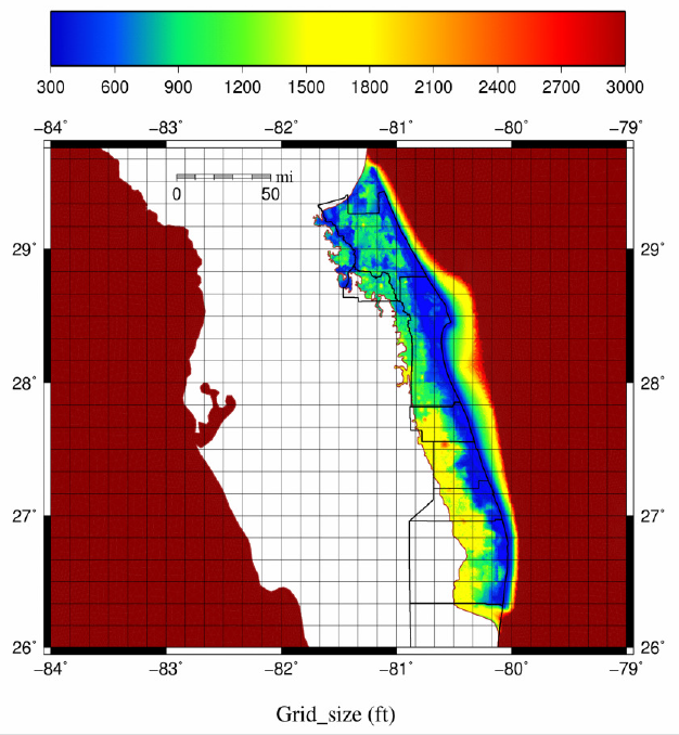
Example Hurricane Risk Model Mesh


